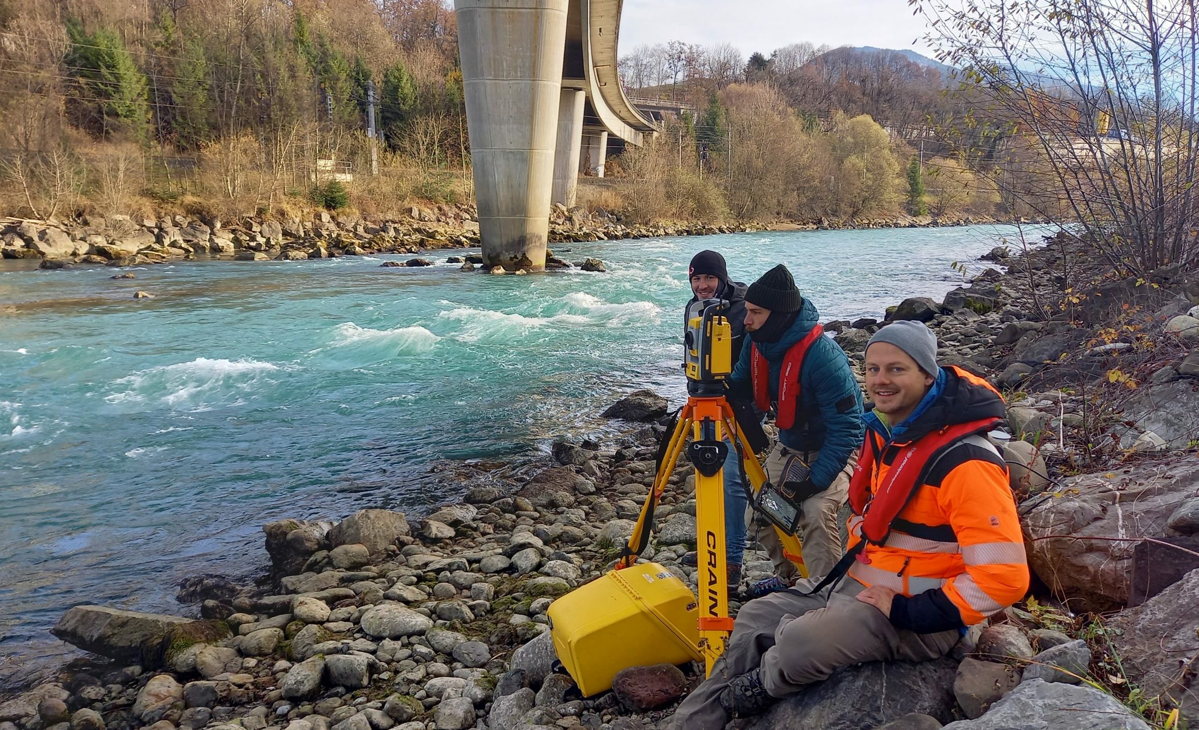
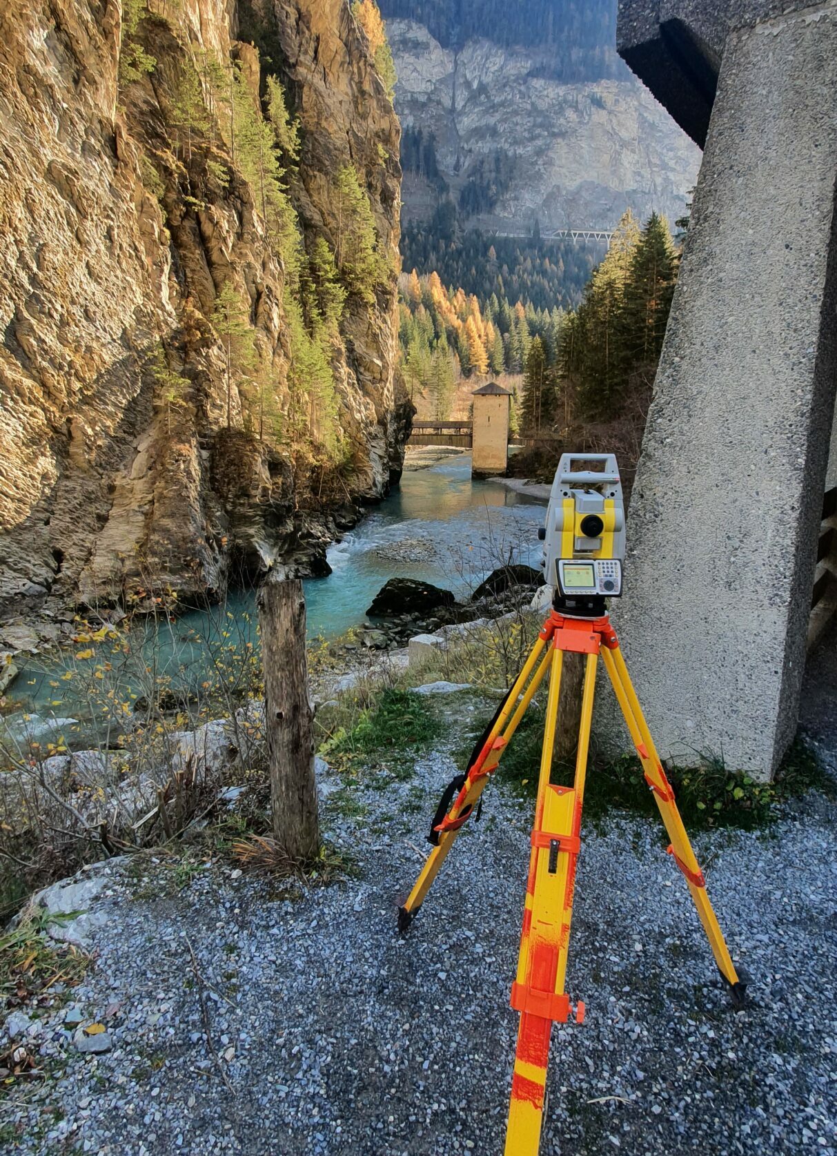
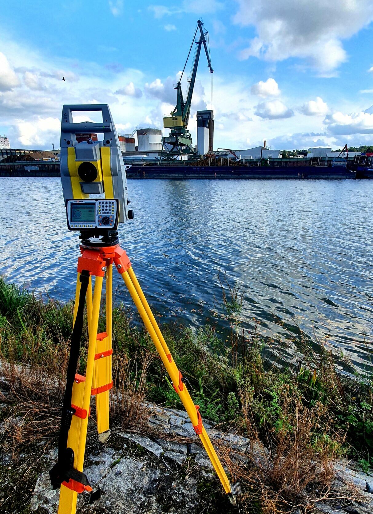
Ingenieurvermessung
In der Ingenieurvermessung geht es um die Bestimmung der exakten Position, Form und Ausrichtung von technischen oder natürlichen Objekten und Bauwerken, sowie deren Veränderung im Laufe der Zeit. Wir vermessen sowohl Innenräume als auch Außenanlagen.
Punktwolken
Die erhobenen Daten werden mit Hilfe unterschiedlicher Software prozessiert und in Form von Plänen oder 3D Modellen visualisiert. Mit den Daten unterstützt Ocean Maps Sie bei der Planung und Ausführung Ihres Bauprojekts sowie bei Monitoring und Kontrolle.
360 Kugelpanoramen
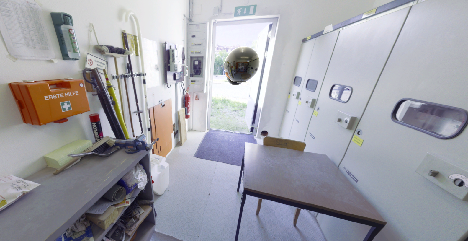

Ocean Maps bietet georeferenzierte 360 Kugelpanoramen an. Diese erlauben den Nutzer:innen das Untersuchungsgebiet virtuell zu erkunden und von verschiedenen Blickwinkeln aus zu betrachten.